

Forestry & Sustainability
Forest height measurements from 3D-SAR satellite, stock assessment, disturbance monitoring and event detection
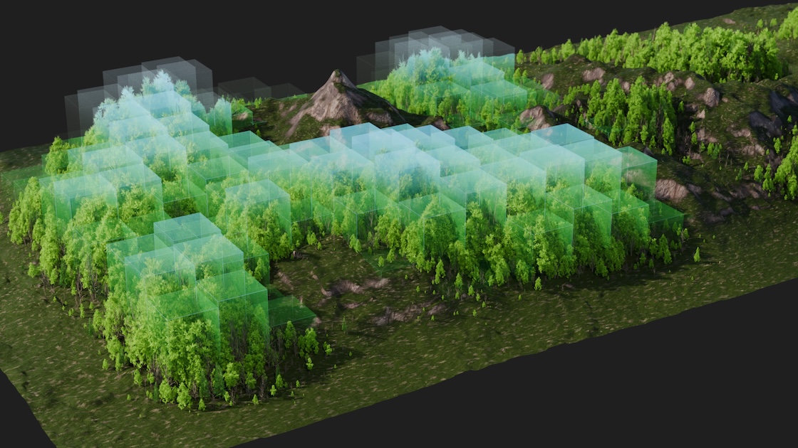
Carbon Stock Assesment
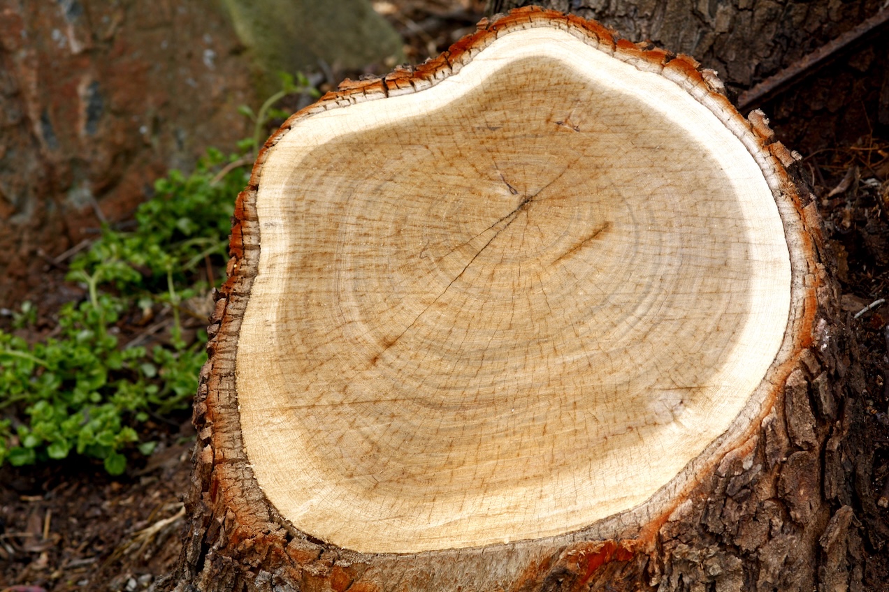
Forest Disturbances
Forest Inventory
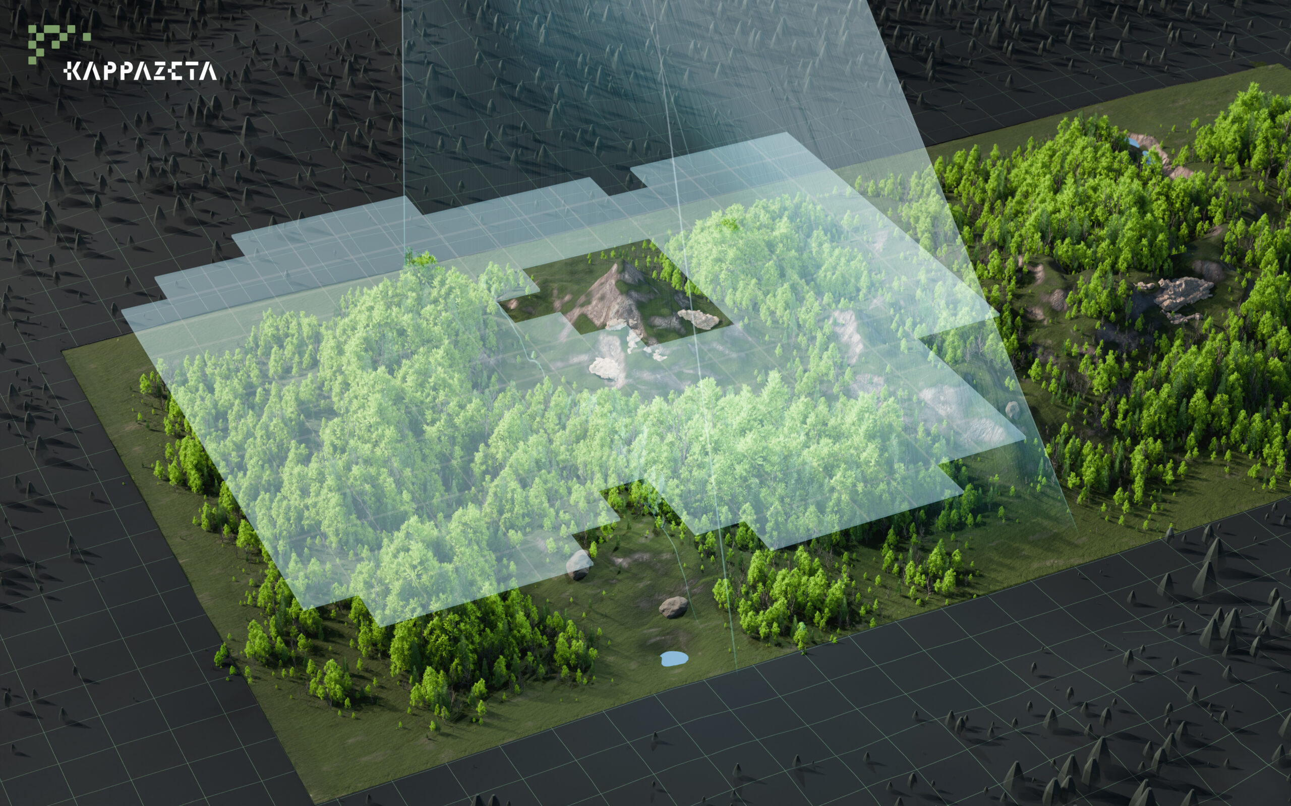
3D-SAR Mission Data
3D-SAR Satellite Mission for Forest Insights
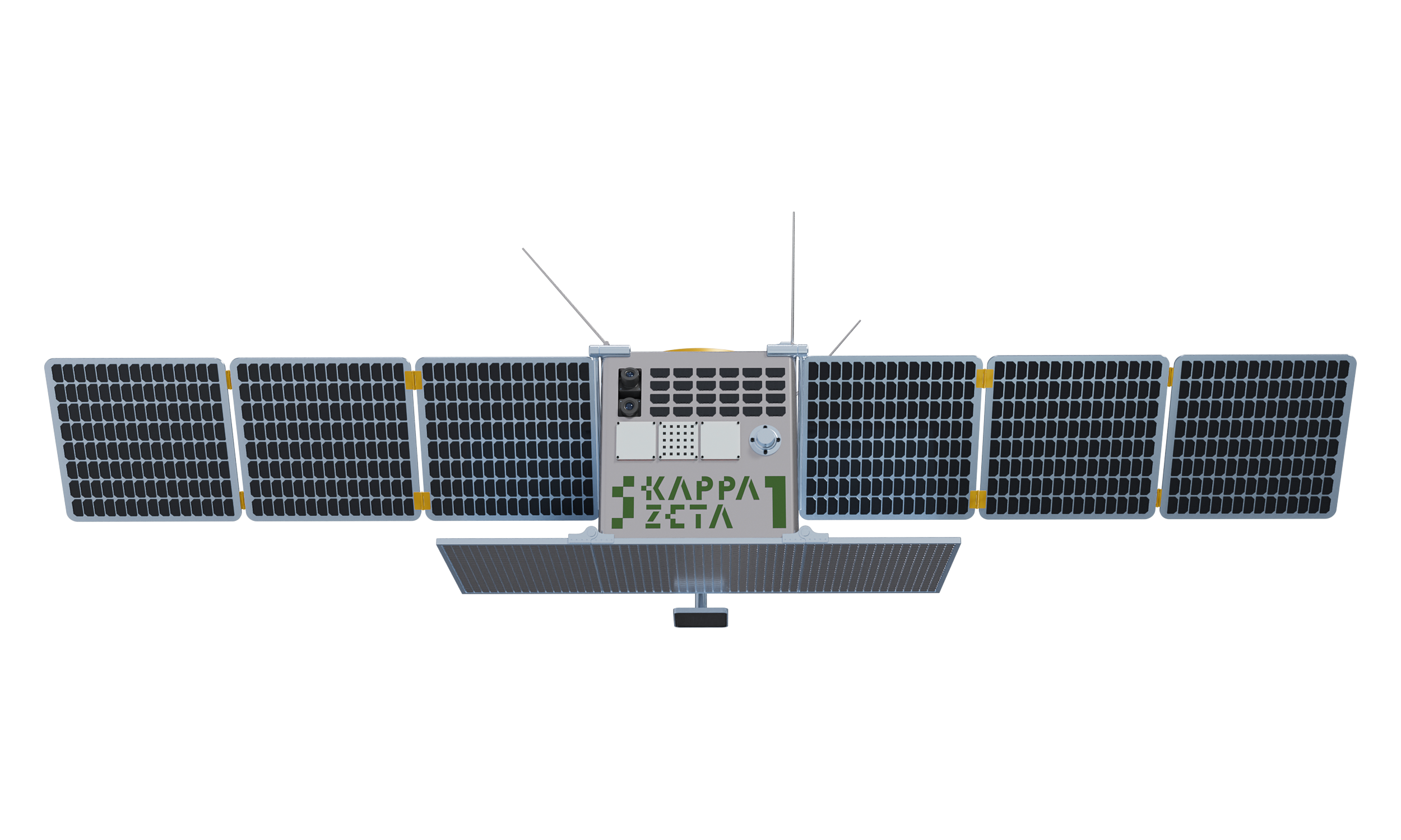
We are launching our 3D-SAR Satellite mission to create global accurate and up to date forest height data that has not been available before. This data will enable a number of services like accurate Forest Carbon Stock Assessment, Forest Disturbances, Forest Inventory, Height Maps and other.
FOREST HEIGHT AND VOLUME MEASUREMENTS FROM SPACE, GLOBALLY
Our 3D-SAR passive receiver satellites will be flying in formation with Sentinel-1 which is a clever augmentation of existing Copernicus space infrastructure.
This will enable the Best known combination of:
- Global coverage – 12 to 36 days revisit
- High accuracy – direct height measurements with 90%+ confidence
- Affordability
Join our Partnership Program to be Among the First to Access Next-Generation 3D Data
We invite organisations interested in 3D-SAR mission output to join our limited partnership program designed to provide early access to our state-of-the-art 3D mission data products. Our partnership program members reserve the right to access each of our 3D-SAR data products approximately 1-3 years before the general public, a significant time advantage in a competitive Earth Observation data landscape.
There are two options to join our partnership program:
1. Signing an off-take agreement for specific 3D-SAR services (see our services below) to reserve priority API access and dedicated capacity for the 3D-SAR first-generation mission.
2. Conducting a dedicated pilot ahead of the mission to validate specific customer requirements and proposed solutions to the challenges. Dedicated pilot offers an even deeper level of engagement, direct influence over product development towards a favourable direction and dedicated support from the senior members of our technical staff.


SEVICES ENABLED BY 3D-SAR SATELLITE MISSION
Best combination of high accuracy, global scalability and unit price in forest carbon stock estimation and forest management.
Carbon Stock Assessment
Accurate Carbon Stock Measurement from Space
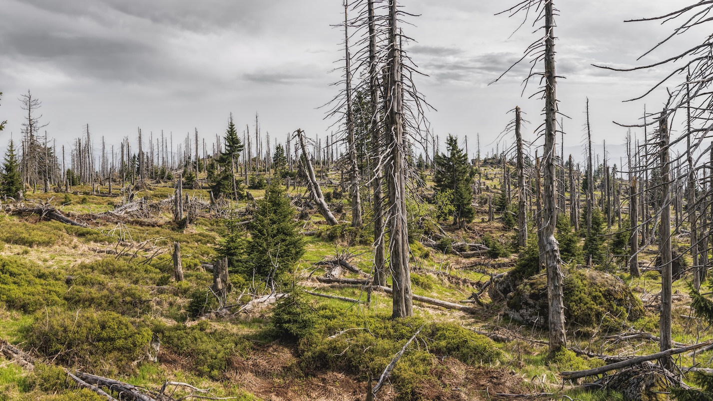
Forest Disturbances
Revisit frequency of 12 to 36 days enables consistent global monitoring
Forest Inventory
Scalable and affordable solution for large-area Forest Inventory
3D-SAR Data & Height Map
Combines High accuracy, Global Scalability and Affordable Unit Costs
Carbon Stock Assessment
Detect and monitor the carbon stock of your forest carbon project.
High-accuracy remote sensing from 3D-SAR mission offers a cost-effective method to verify and monitor changes in forest carbon stock to increase the value of investments and avoid greenwashing claims.
Forest Disturbances
Identify disturbances and events in forests such as clearcutting and damaged forest areas.
Effectively monitor forest management activities and events without the need for physical on-site inspections. Near real-time forest disturbance monitoring helps to ensure compliance with European regulations such as EUDR and LULUCF reporting, all while maintaining reliable accuracy.
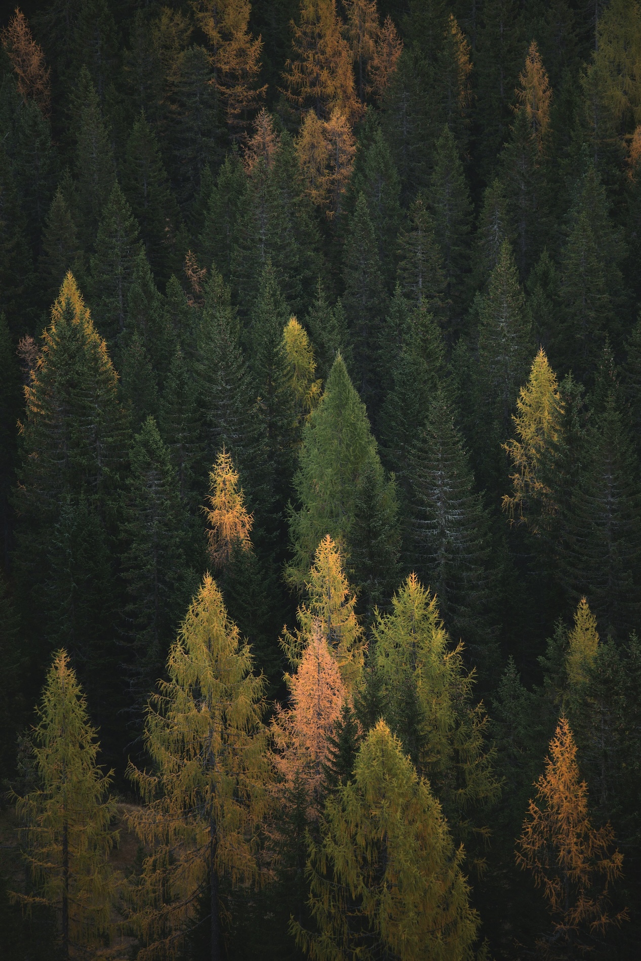
Forest Inventory
Detect and monitor the timber stock of forests.
High-accuracy remote sensing methods from 3D-SAR and other satellide providers enable cost-effective assessment of forest parcel value and its change in time, enabling better decisions in forest management.
3D-SAR Data & Height Maps
We are developing the passive receiver satellite constellation to enable the vertical dimension in Sentinel data.
Three-dimensional SAR data enables quantification of timber and carbon stock and its change with over 90% accuracy, enabling many high-value applications not available today.
Get in touch with the team


Erik Ehasoo
3D-SAR Business & Product Lead

Meelis Seedre
Head of Forestry & Carbon Domain

Martin Jüssi
3D-SAR Mission Manager