

Company

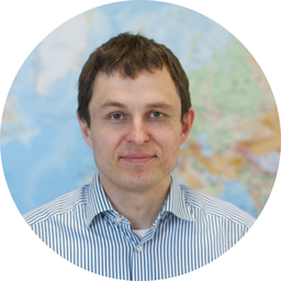
Kaupo Voormansik
CEO, SAR Expert
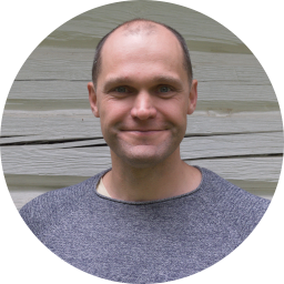
Tanel Tamm
CTO, GIS expert
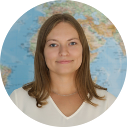
Karoli Kahn
Chief Operating Officer

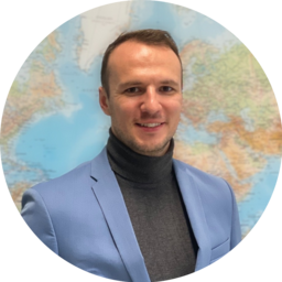
Martin Jüssi
3D-SAR Mission Manager

Erik Ehasoo
3D-SAR Business Lead
Tanel Kobrusepp
Head of Business Development
Teet Liiv
Agriculture Domain Lead
Meelis Seedre
Head of Forestry & Carbon Domain
Jürgen Lina
Head of Product Strategy, Defence

Tauri Tampuu
Research and Development Manager, SAR Expert
2020
Welcomed a business development manager and new data
scientists into our team. The company began to focus more
on developing scalable services for other remote sensing
companies and farmers. 10 employees.
2020
Moved to our new office to
Aparaaditehas, Tartu
2018
Nation-wide fully automated mowing detection
system operational in Estonia and started
incubation programme in ESA BIC Estonia
2016
Started development of the nation-wide system for automated
monitoring of agricultural practices (SATIKAS) for The Estonian
Agricultural Registers and Information Board (ARIB) together with Tartu
Observatory and CGI Estonia
2012
Tartu Observatory Remote Sensing
research group started to work
with radar satellite data

2022
Kappazeta started working with our own 3D-SAR Satellite mission to launch a novel 3D radar data satellite to orbit.
2020
Kappazeta received funding from European Space
Agency (ESA) for three projects:
- Harvesting Time Recommendation for maximum
crop Yield (HaTRY) - Grazing Detection from Copernicus Data for
Agricultural Subsidy Checks - AI-based Cloud Mask Processor for Sentinel-2
2019
As a consortium member in “National Programme for Addressing
Socio-Economic Challenges through R&D” started to develop a crop
classification methodology for Estonian conditions. 5 employees.
2017
Started ESA Estonian Industry Incentive Scheme (IIS) project
“Grassland mowing detection for agricultural subsidy checks
with Sentinel-1 and Sentinel-2″ with demo applications in Denmark, Sweden
and Poland.
2015
Independent company
registered, 4 founders
2022
Kappazeta started working with our own 3D-SAR Satellite mission to launch a novel 3D radar data satellite to orbit.
2020
Welcomed a business development manager and new data
scientists into our team. The company began to focus more
on developing scalable services for other remote sensing
companies and farmers. 10 employees.
2020
Kappazeta received funding from European Space
Agency (ESA) for three projects:
- Harvesting Time Recommendation for maximum
crop Yield (HaTRY) - Grazing Detection from Copernicus Data for
Agricultural Subsidy Checks - AI-based Cloud Mask Processor for Sentinel-2
2020
Moved to our new office to
Aparaaditehas, Tartu
2019
As a consortium member in “National Programme for Addressing
Socio-Economic Challenges through R&D” started to develop a crop
classification methodology for Estonian conditions. 5 employees.
2018
Nation-wide fully automated mowing detection
system operational in Estonia and started
incubation programme in ESA BIC Estonia
2017
Started ESA Estonian Industry Incentive Scheme (IIS) project
“Grassland mowing detection for agricultural subsidy checks
with Sentinel-1 and Sentinel-2″ with demo applications in Denmark, Sweden
and Poland.
2016
Started development of the nation-wide system for automated
monitoring of agricultural practices (SATIKAS) for The Estonian
Agricultural Registers and Information Board (ARIB) together with Tartu
Observatory and CGI Estonia
2015
Independent company
registered, 4 founders
2012
Tartu Observatory Remote Sensing
research group started to work
with radar satellite data

Kappazeta is at the forefront of innovative environmental and defence solutions. We are dedicated to leveraging space technology and AI to fight against climate change and raise situational awareness for national defence. Join our dynamic team and be part of our mission.