Agriculture
Kappazeta delivers invaluable insights that governments and agricultural procures can use to detect farming practices, anomalies or fraudulent activities on a field level.
Farming Events Detection
Crop Type
Field Heterogenity
Damaged Area Detection
Cloudless NDVI
FARMING EVENTS DETECTION
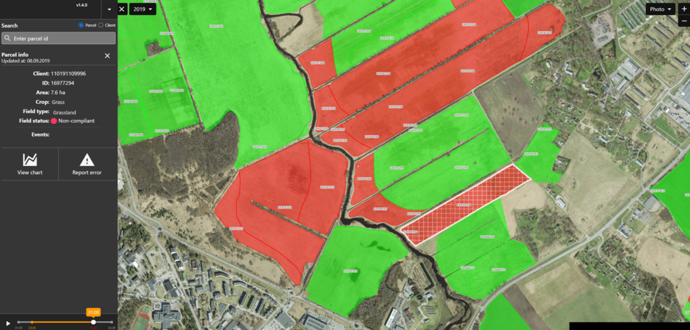
Detect the dates of mowing, harvesting, ploughing and conservation tillage events on a field level.
Meet CAP subsidy regulations or verify insurance claims more efficiently and accurately by cross-referencing reported farming activities with detected events.
CROP TYPE
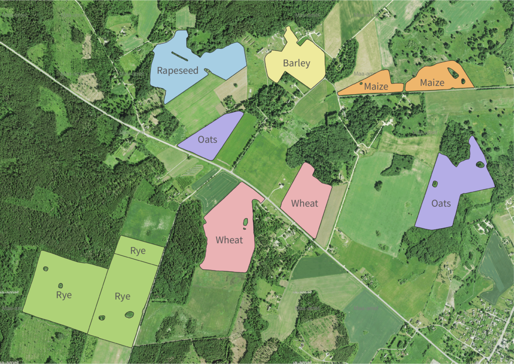
Detect the crop types and crop rotation practices on fields of interest.
Precise data on crop distribution and acreage will enhance market forecasting and reduce time spent on physical field inspections. Additionally accurate crop type information is necessary for monitoring and verification of carbon farming projects to confirm that it meets the requirements of the standard it is using
FIELD HETEROGENITY
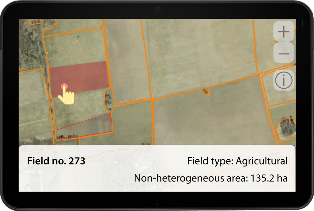
Detect heterogeneous areas such as multiple crop types growing or buildings and roads built within a field
Accurate field heterogeneity detection assists in ensuring subsidy and indemnity payout compliance.
DAMAGED AREA DETECTION
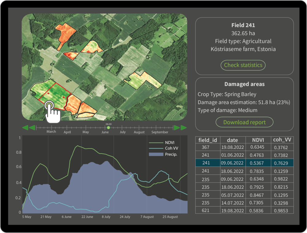
Detect areas in the field with low- medium and high damage to the crops caused by extreme weather events like droughts and winterkill.
The main value of detecting crop damages is that it helps farmers quickly address losses and ensures accurate subsidy allocations for agricultural paying agencies. Assessing damages to crops remotely enables insurance companies to make the loss adjustment process more cost-efficient.
CLOUDLESS NDVI
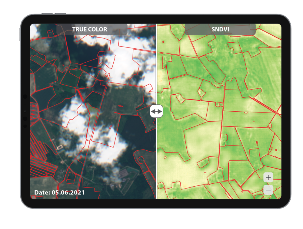
Monitor crop development during cloudy days with the synthesized NDVI which utilizes radar satellites to fill in the missing NDVI data gaps.
The main value of a cloudless NDVI product to agricultural producers is the ability to obtain consistent, reliable vegetation development data, even under cloudy conditions, enabling more accurate monitoring and timely decision-making for crop management.
Get in touch with the team

Tanel Kobrusepp
Head of Business Development

Teet Liiv
Agriculture Domain Lead
